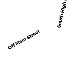
L8C S HIGH ST
Owner Information
LIS JAN P
43B MT DUMPLIN RD
PALMER, MA 01069


Property Details
L8C S HIGH ST is classified as a Developable Residential Land (Vacant land).
L8C S HIGH ST is valued at $51,100. The land is valued at $51,100 and the structures are valued at $0.
This property is in Zone TR. Confirm with local Zoning Board authorities to ensure there are no overlays or other easements on this property.
The most recent deed for L8C S HIGH ST is recorded at the local registrar in Book 22696, Page 0020. L8C S HIGH ST was last sold on Wednesday, June 5, 2019 for $14,500.
Assessment data from fiscal year 2022.
Flood Data
According to the FEMA National Flood Hazard Layer, this property does not appear to be in a flood zone. It may also be in an area not yet reviewed. Nonetheless, confirm this information prior to taking any action.
To view the flood hazards around this property, create a FEMA "Firmette" Map of the area around L8C S HIGH ST.
Broadband Internet Providers
| Provider | Type | Bandwidth (mbps) | |
|---|---|---|---|
| Viasat Inc | Satellite | 100 | 3 |
| Verizon New England Inc. | DSL | 5 | 0 |
| VSAT Systems, LLC. | Satellite | 2 | 1 |
| HughesNet | Satellite | 25 | 3 |
| GCI Communication Corp. | Satellite | 0 | 0 |
| Comcast | Cable | 1000 | 35 |
Broadband service provider data from December 2020.
Adjacent Properties
- 103A-B S HIGH ST (BOND)
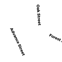
Two-Family Residential owned by BANAS JOSHUA & BOULANGER BRADLEY - 11 ADVANCE ST (BOND)
Single Family Residential owned by BELANGER WILLIAM M - 3002 OAK ST (BOND)
Single Family Residential owned by MOYNAHAN DOROTHEA T - 91 S HIGH ST (BOND)
Single Family Residential owned by PALATINO PAULO J & ADELAIDE - 3012 OAK ST (BOND)
Single Family Residential owned by BROWN ROBERT W